Getting Around Gilbert AZ: Transit, Parking & Pathways
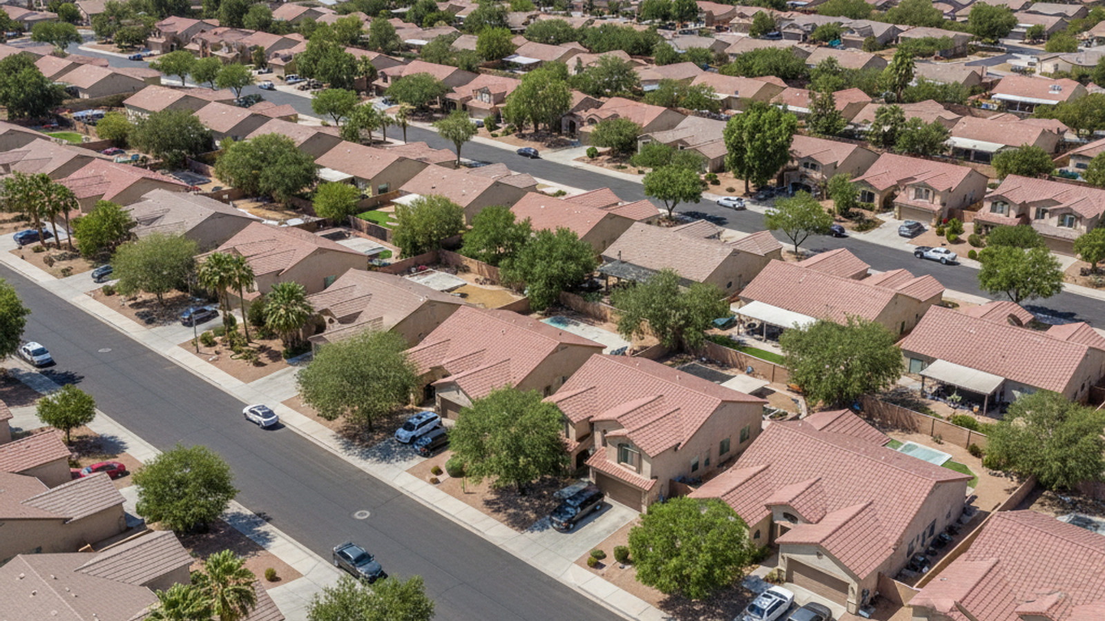
Relocating to the East Valley requires a clear understanding of the local infrastructure. Buyers often ask about the realities of getting around Gilbert AZ, especially when balancing regional commutes with local errands. The town spans a substantial suburban footprint, making transportation logistics a critical factor in choosing the right neighborhood.
In 2026, personal vehicles remain the primary mode of transit for most residents. However, recent infrastructure upgrades have expanded options for non-motorized travel and regional connectivity. Understanding these commuting networks ensures you can navigate daily travel efficiently.
Navigating Gilbert: An Overview of Local Transportation
Gilbert sits approximately 22 miles southeast of Phoenix, bordered directly by Mesa to the north and Chandler to the west. This strategic geographic position places residents within a short drive of major regional employment centers. Most daily travel relies heavily on personal vehicles, though the town has actively expanded its multi-use pathways to support alternative transit.
Setting realistic commute expectations is crucial for prospective buyers. While moving within the town limits is straightforward, navigating to neighboring cities during peak hours requires planning. Buyers should map their specific daily routes to work, schools, and amenities before committing to a property location.
Major Highways and Road Networks
The local road network is organized on a predictable grid system, anchored by major thoroughfares like Power Road and Williams Field Road. Regional connectivity relies heavily on two primary arteries - the Loop 202 Santan Freeway and US 60. The Loop 202 sweeps through the southern portion of the town, offering a direct link to the bustling Price Corridor in neighboring Chandler.
Commuters traveling to Downtown Phoenix can expect a typical drive time of 30 to 45 minutes, depending on departure times. Reaching Phoenix Sky Harbor International Airport generally takes 20 to 30 minutes under standard traffic conditions. Morning traffic flows heavily westbound and northbound, with the reverse pattern dominating the evening commute.
Navigating these highways during peak rush hours often adds 15 to 20 minutes to standard travel times. Buyers evaluating homes near major on-ramps should weigh the convenience of immediate highway access against potential noise levels. Properties located within two miles of Loop 202, often priced around $600,000, consistently command strong buyer interest due to this commuting efficiency.
Public Transportation Options in Gilbert
Public transit in this part of the East Valley is managed by Valley Metro, which operates a network of regional bus routes. These buses service major commercial corridors, with key stops positioned along Gilbert Road and Williams Field Road. While the bus system provides reliable scheduled service, it requires more time than driving a personal vehicle.
Commuters who prefer public transportation often utilize local park-and-ride facilities to connect with express transit networks. Although the town does not have a dedicated light rail station, local bus routes connect directly to light rail hubs in adjacent Mesa and Tempe. This multi-modal approach serves residents commuting to central Phoenix or the university districts.
For residents requiring accessible transit, the town participates in Dial-a-Ride and regional paratransit programs. These services offer scheduled, door-to-door transportation for eligible individuals. The availability of these localized transit options adds practical value for buyers who prefer not to drive daily.
Biking, Walkability, and the Central Trail System
Active transportation is a major focal point of the local infrastructure. The town features an impressive 135-mile Central Trail System, consisting of paved, multi-use paths that follow the local canal networks. These dedicated trails allow cyclists, runners, and pedestrians to travel miles without interacting with vehicular traffic.
Many residential subdivisions connect directly to this trail system, providing a seamless transition from neighborhoods to commercial centers. On major thoroughfares, dedicated bike lanes further support cyclists navigating the town. For buyers prioritizing outdoor recreation, homes adjacent to the Central Trail System offer a distinct lifestyle advantage.
True walkability is primarily concentrated in the downtown Heritage District. This vibrant destination features wide sidewalks, clearly marked crosswalks, and dense commercial zoning that makes exploring on foot highly practical. Outside of this central core, the broader suburban layout requires a bicycle or car for most daily errands.
Rideshares and Airport Access
On-demand transportation logistics are well-established throughout the area. Ridesharing companies like Uber and Lyft maintain a robust presence alongside traditional taxi services. Response times in these suburban zones are typically under ten minutes, making rideshare a highly reliable option for residents.
These services are particularly useful for short-distance travel or navigating the Heritage District on weekends when parking demand is high. Relying on a rideshare eliminates the need to secure a parking spot in busy commercial destination zones. It also provides a practical solution for residents who want to minimize their reliance on personal vehicles for evening outings.
Navigating to nearby commercial airports is equally straightforward using these services. Phoenix Sky Harbor International Airport handles the majority of regional and international flights, located about 25 miles away. Alternatively, Phoenix-Mesa Gateway Airport sits just east of the town limits, offering a highly convenient departure point for domestic travel.
Frequently Asked Questions
Does Gilbert have public transportation?
Yes, public transit is available through Valley Metro bus routes that service major local corridors. These buses connect riders to broader East Valley transit hubs, including the light rail stations in neighboring Mesa. The town also supports Dial-a-Ride services for eligible residents requiring accessible, scheduled transportation.
Is Gilbert, Arizona walkable?
Walkability varies significantly depending on the specific neighborhood. The downtown Heritage District is highly walkable, featuring wide sidewalks and closely clustered dining and retail options. In contrast, the broader suburban developments are spread out and generally require a vehicle or bicycle for daily errands.
How can I get around Gilbert without a car?
Navigating without a car is possible by utilizing the extensive 135-mile Central Trail System for cycling and walking. Residents can also rely on Valley Metro regional bus routes for longer trips across the East Valley. Additionally, rideshare services provide quick, on-demand transit for gaps in the public transportation network.
What rideshare services are available in Gilbert?
Major ridesharing companies like Uber and Lyft operate extensively throughout the town. These services typically offer response times under ten minutes in most residential subdivisions. Traditional taxi services are also available and frequently used for reliable transfers to the nearby Phoenix-Mesa Gateway Airport.
